Hiking

Between forests and stubble fields

randonne-pied-foret-famille-montagne-vosges-lac-blanc-noir

Come and discover the Vosges massif throughout its numerous marked trails by the Vosges Club. Rectangle, ring, diamond or disc, red, blue, yellow or green, you'll see them all along the paths! Each sign gives you information about the route taken or to be taken: find out the meaning of these markings here. 

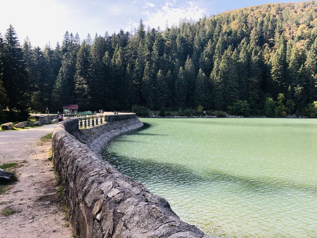
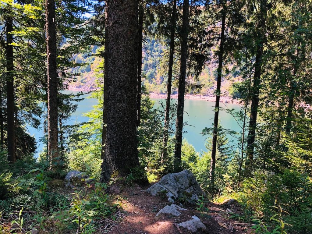
Slip on your hiking shoes and weave through the paths for a few kilometers! You will enjoy beautiful mountain landscapes, its prairies, its lakes, its wildlife and its plant life.

Some advice: Be equipped with an IGN map (Institut géographique national - French national cartographical organization) in order to follow the marked paths.

Some advice before leaving :

  • Think about looking at the weather forcast or at our webcams, updated every 10 minutes.
     
  • Don’t overestimate your abilities, choose a path that is adapted to your level.
     
  • Think about bringing warm clothes, the trails are sometimes in the shade and in high altitude, temperatures could get cold even in the summer !
     
  • Think about having the right shoes. Good hiking shoes are recommended to flip-flops or city shoes!
     
  • Finally, be environmentally responsible, think about collecting your waste. The wildlife and the plants will be all the more better for it!

ADOPTING THE QUIETUDE ATTITUDE

Good hiking habits :

Find all information on the website.

More than 200 km (124 miles) of trails on Google Street View!

Hike on the green pastures on the  ‘route des crêtes ‘ (the road leading to the mountain summits)

No doubts, you are at Lac Blanc…or maybe comfortably sitting on your couch, looking at your tablet screen.
Plan out your hiking trails right now in the Vosges Massif: discover the trails in 360° !!

{{EnregistementsTotaux}} fiche(s)


With Google Street View, you are there ! 

Around the lakes


Trail towards the Faudé Tower 


Around Katzenthal and the Grand Cru Sommerberg


The uphill path to the Kaysersberg Castle 


The barefooth Trail


Outils d'accessibilité